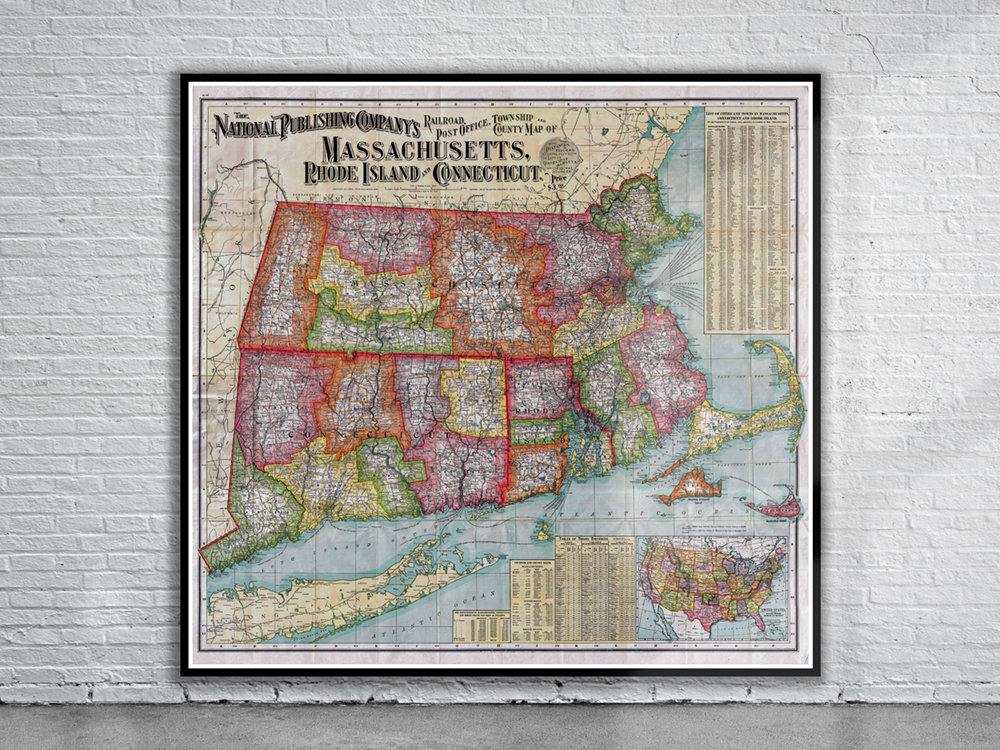
Map of the American Railroads from 1900 covering the states of Massachusetts, Connecticut, and Rhode Island with adjacent parts of Long Island, Maine, Vermont, New Hampshire and New York. The map is color coded to show the various county and township configurations. Stunning Full Colour Reproduction using the Most Advanced Technology Available Printed on Museum Matte Archival Paper 310gm Unique Conversation Piece for your Home or Business Frame not included
You may also like…
-
 Sold Out!
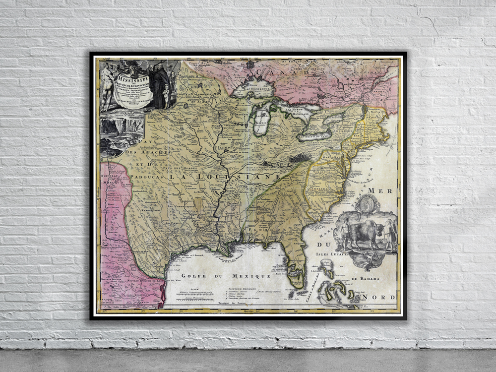
Vintage Map of North America 1720
$ 60.08 -
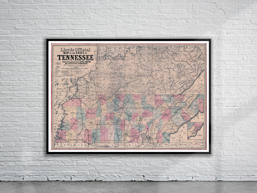
Vintage Map of Tennessee 1862
$ 60.08
Related products
-

Vintage Map of South America 1734
$ 60.08 -
 Sold Out!
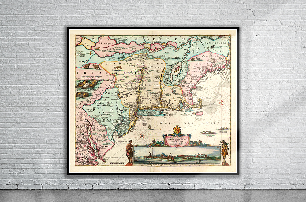
Vintage Map of New England 1673
$ 60.08 -
 Sold Out!
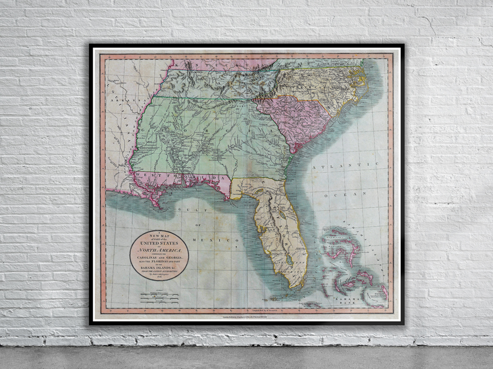
Vintage Map of Florida 1806
$ 60.08 -
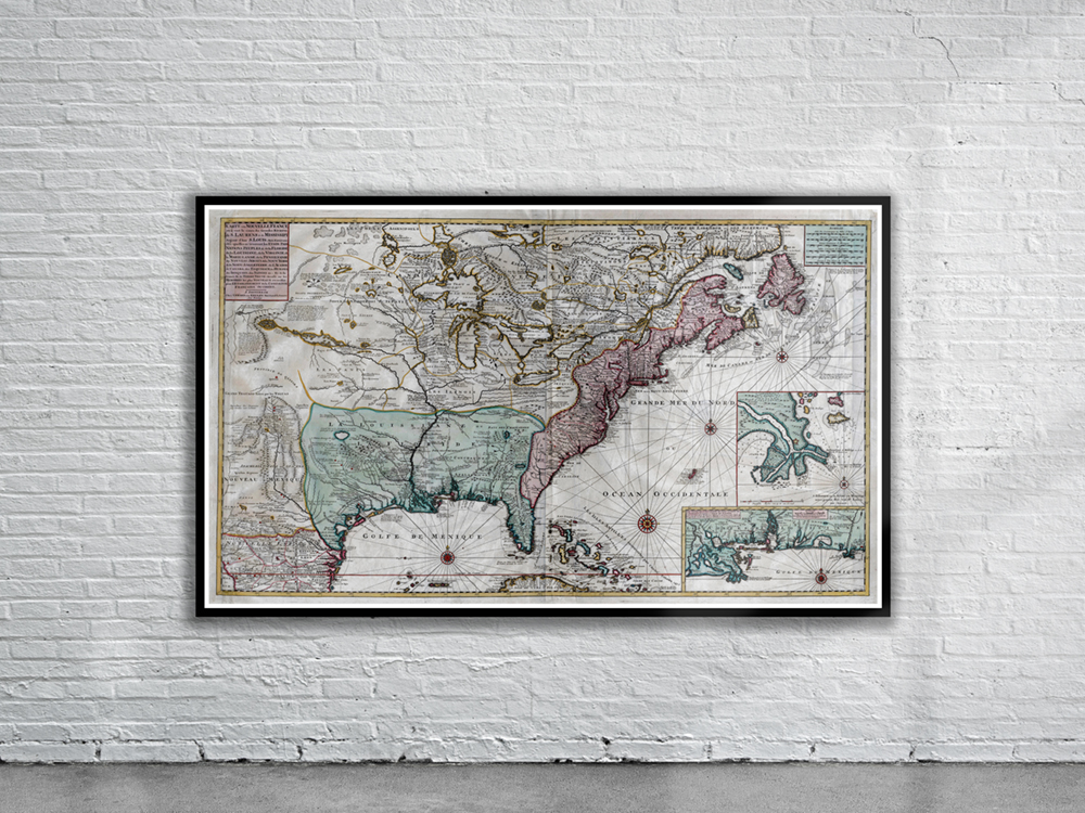
Vintage Map of New France 1720
$ 60.08