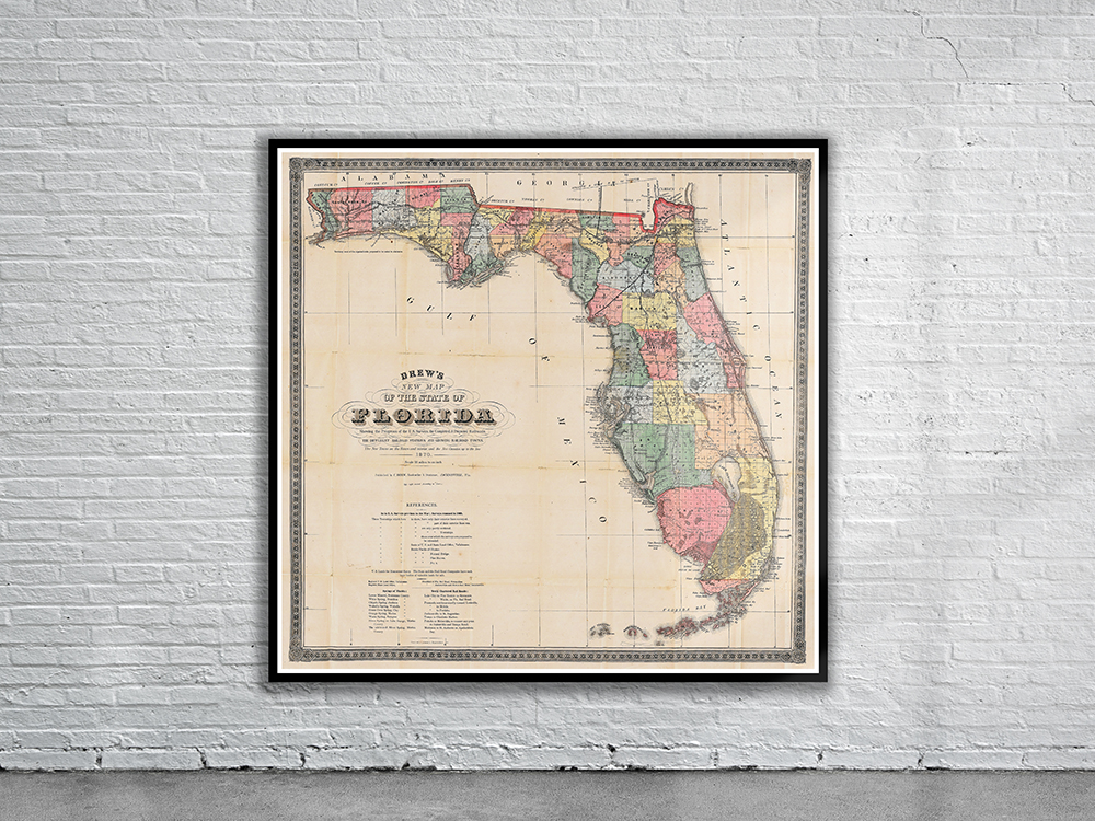
Drew’s Map of Florida from 1870. The Map depicts the major towns of the State of Florida as well as the occupied Native American territories at that time. Stunning Full Colour Reproduction using the Most Advanced Technology Available Printed on Museum Matte Archival Paper 310gm Unique Conversation Piece for your Home or Business Frame not included
You may also like…
-
 Sold Out!
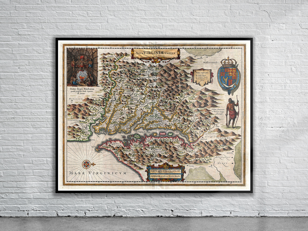
Vintage Map of Virginia 1630
$ 56.25 -
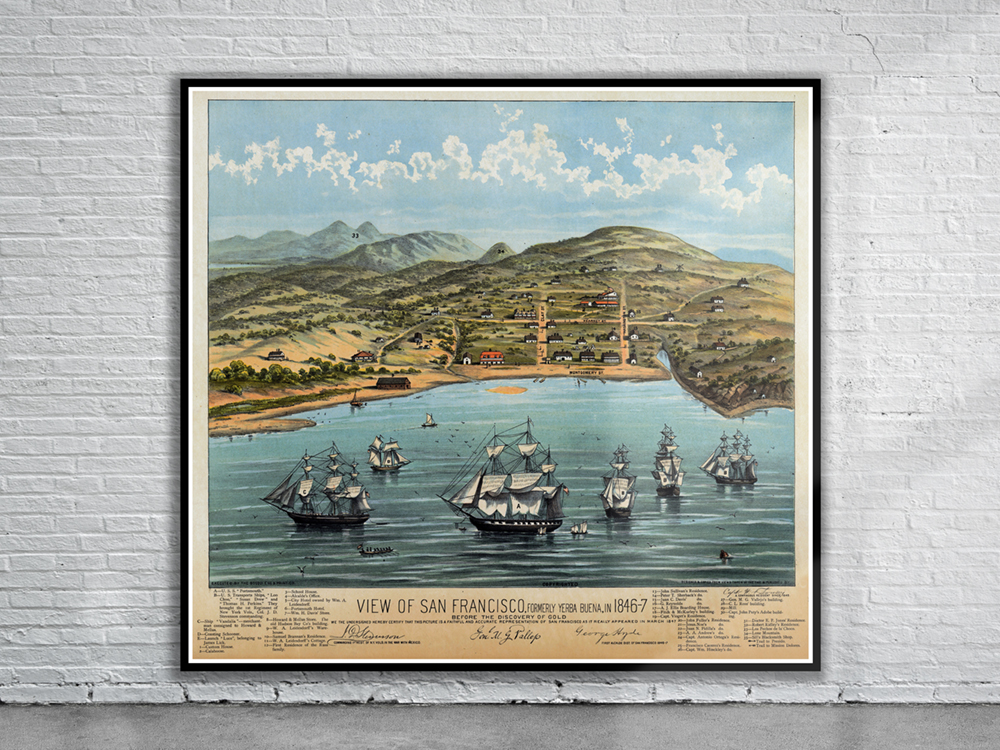
Vintage Print of San Francisco 1846
$ 66.09
Related products
-
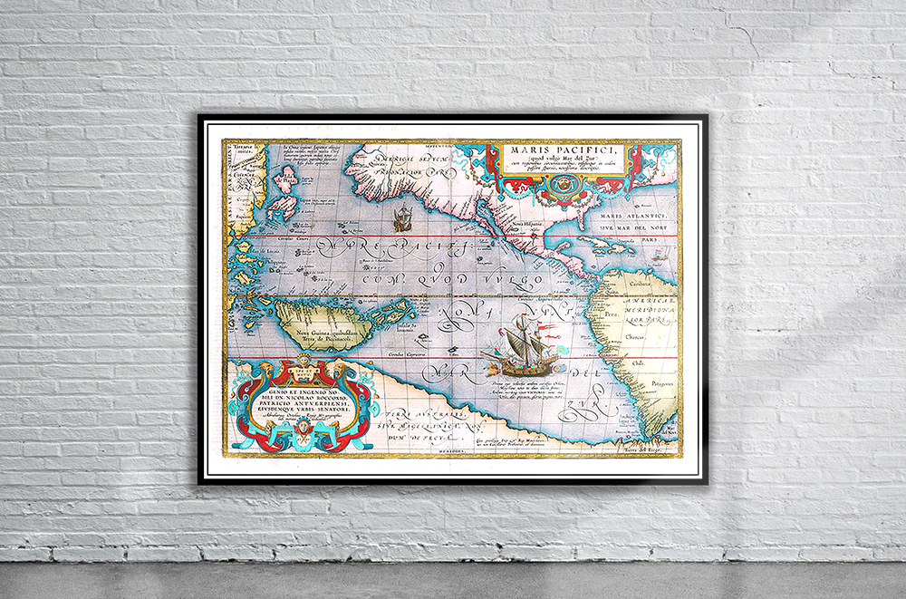
Vintage Map of Pacific Ocean 1590
$ 60.08 -
 Sold Out!
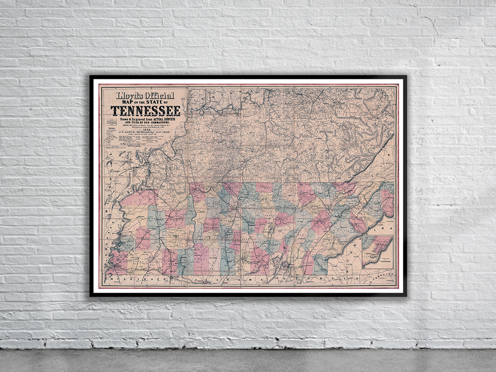
Vintage Map of Tennessee 1862
$ 60.08 -
 Sold Out!
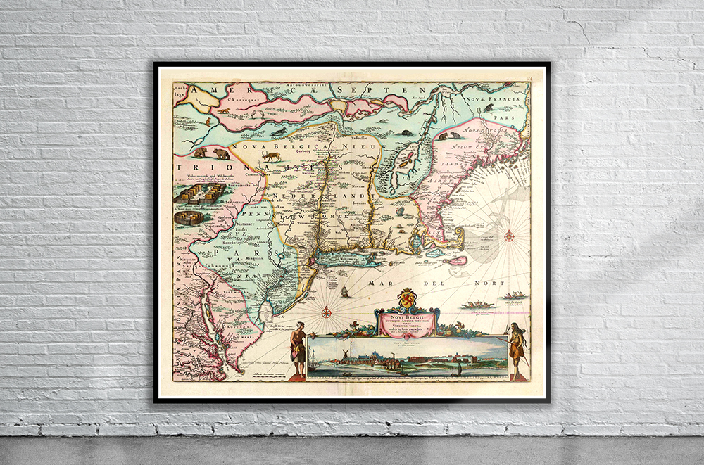
Vintage Map of New England 1673
$ 60.08 -
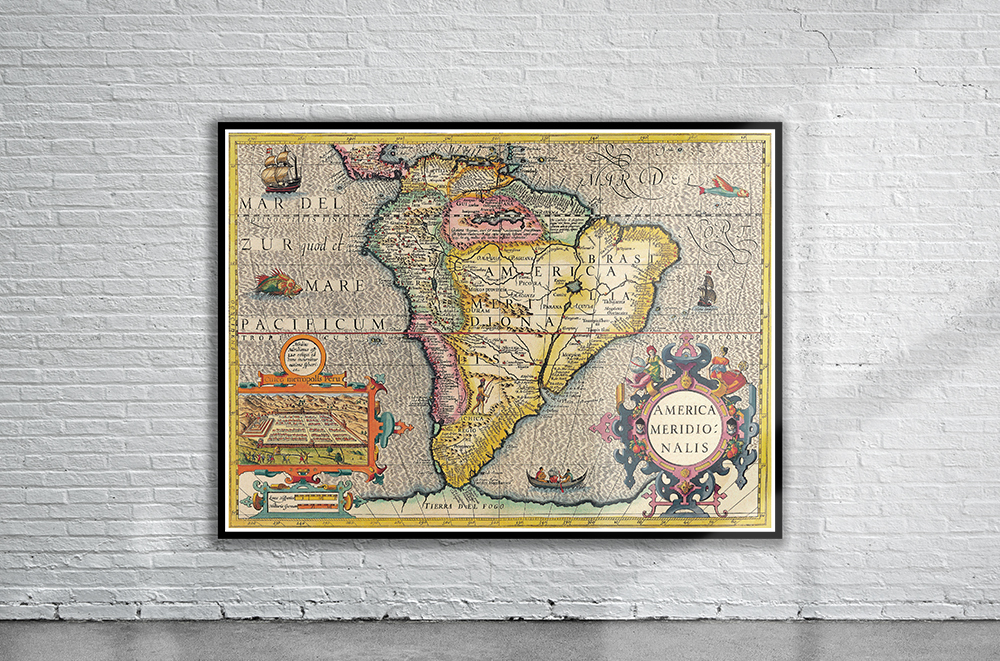
Vintage Map of South America 1623.
$ 60.08