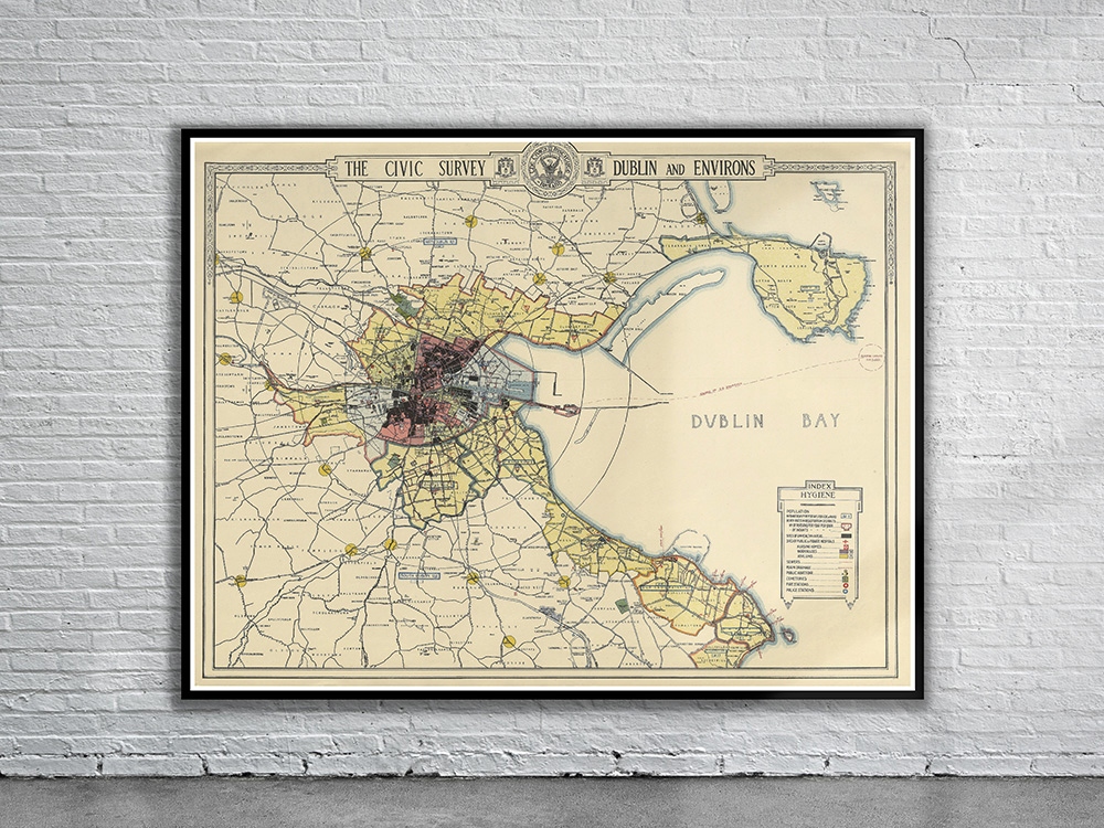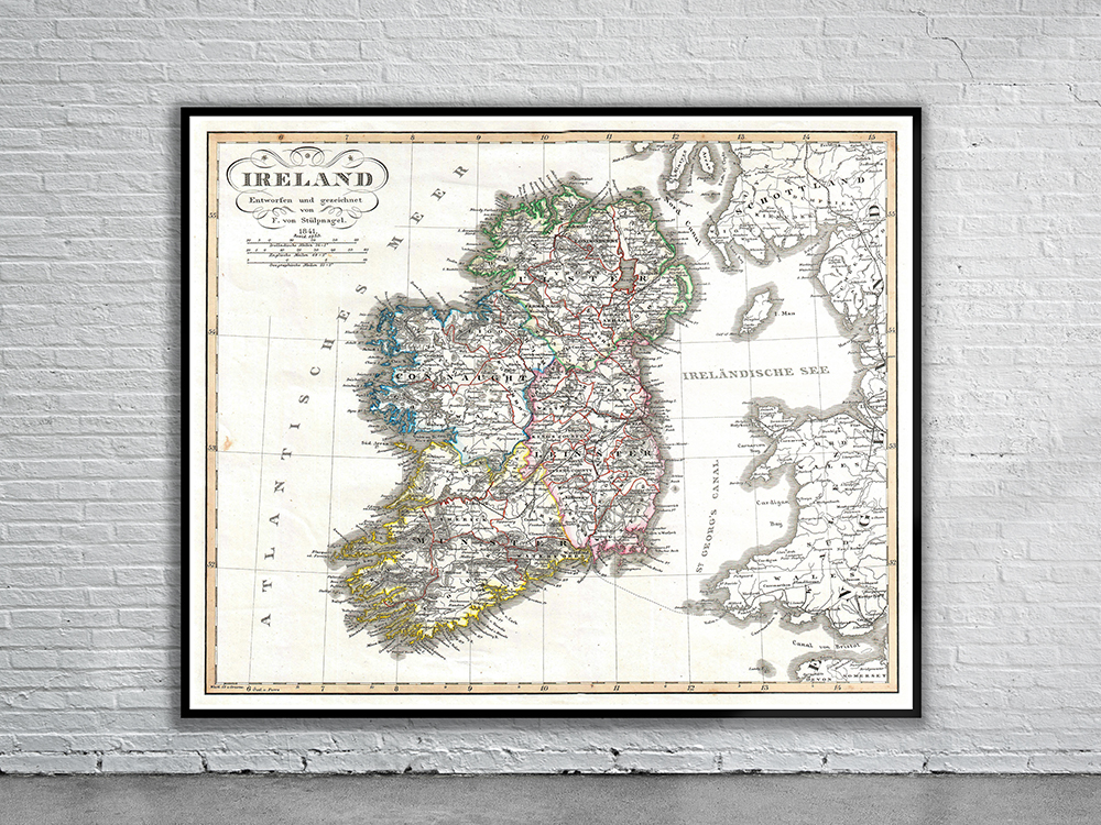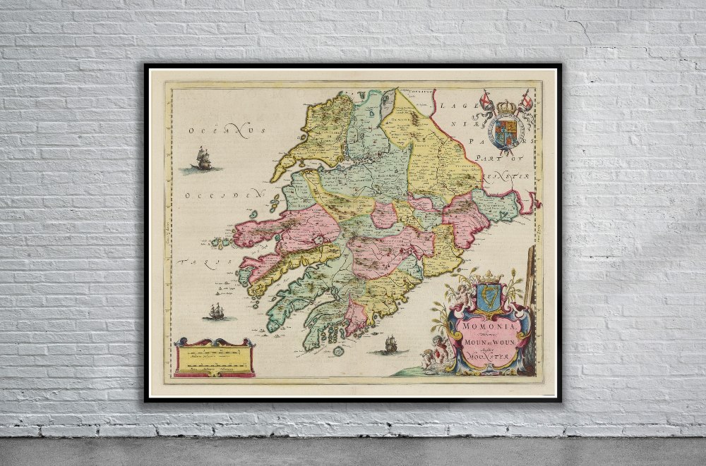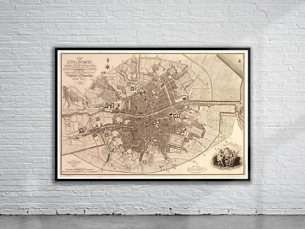
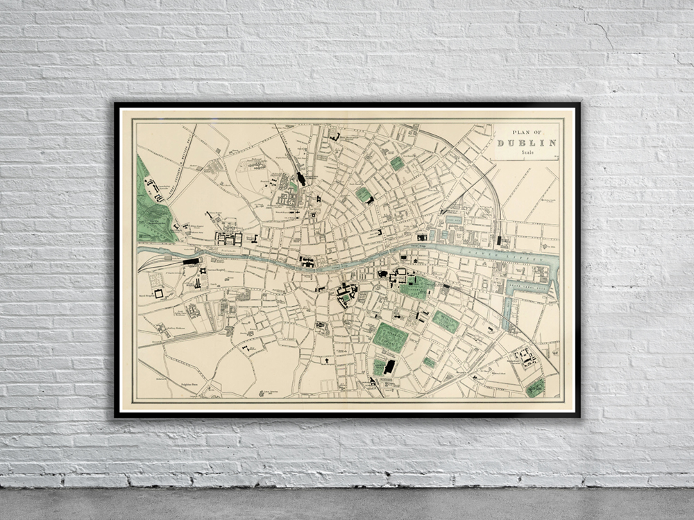
Vintage Map of Dublin from 1880 showing the streets, train stations, parks and major administrative buildings. Stunning Full Colour Reproduction using the Most Advanced Technology Available Printed on Museum Matte Archival Paper 310gm Unique Conversation Piece for your Home or Business Frame not included
You may also like…
-
 Sold Out!
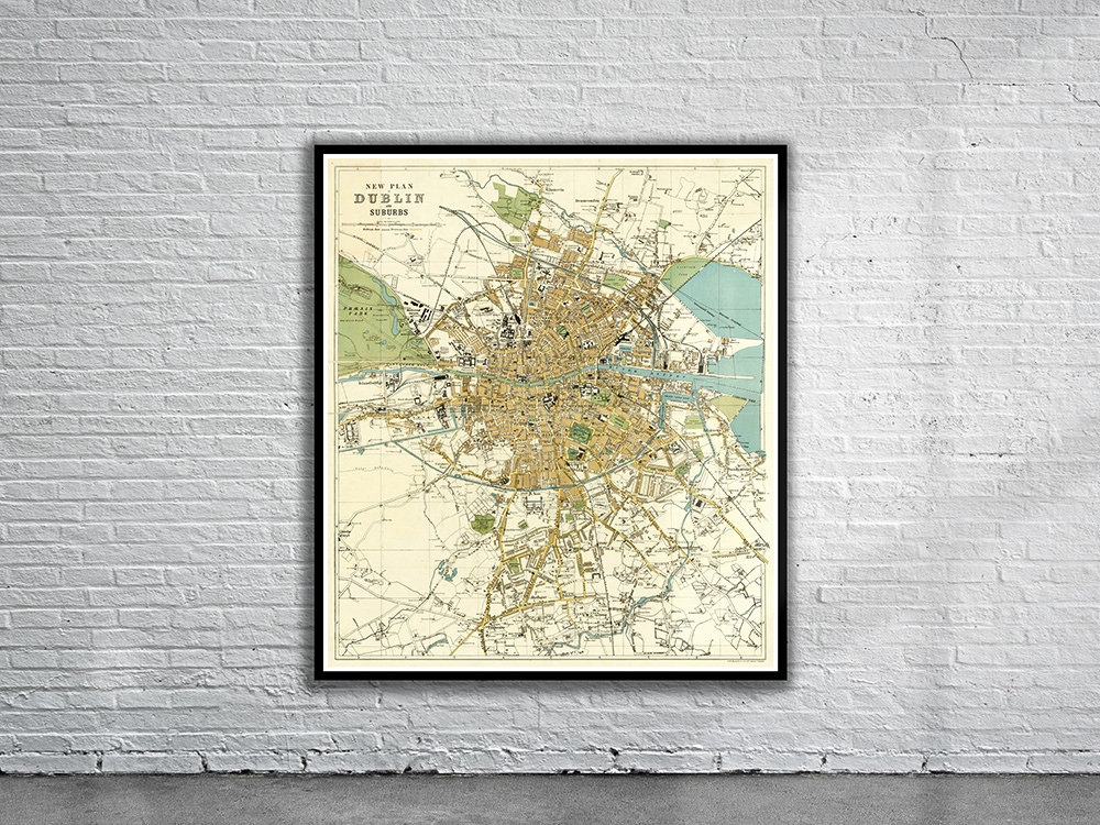
Vintage Map of Dublin 1913
$ 60.08 -
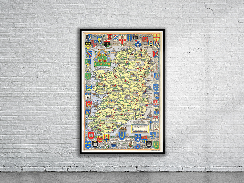
Vintage Map of Ireland 1969
$ 60.08
Related products
-
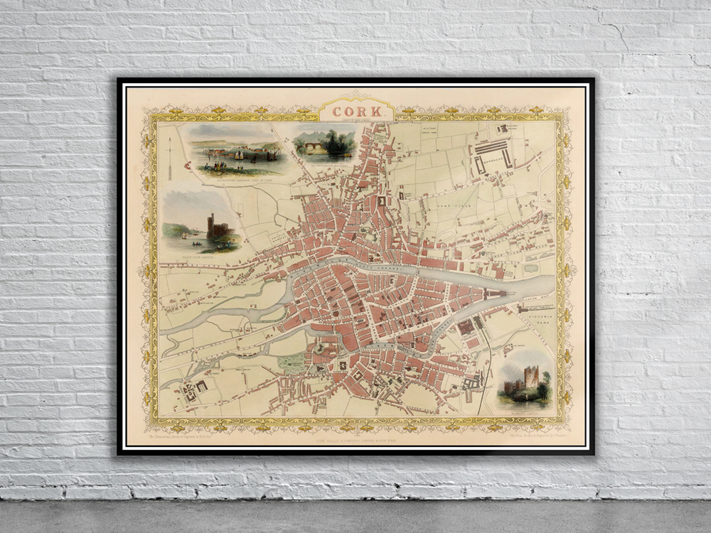
Vintage Map of Cork 1851
$ 56.25 -
 Sold Out!
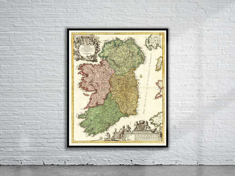
Vintage Map of Ireland 1716
$ 60.08 -
 Sold Out!
Vintage Map of Dublin 1880
$ 60.08 -
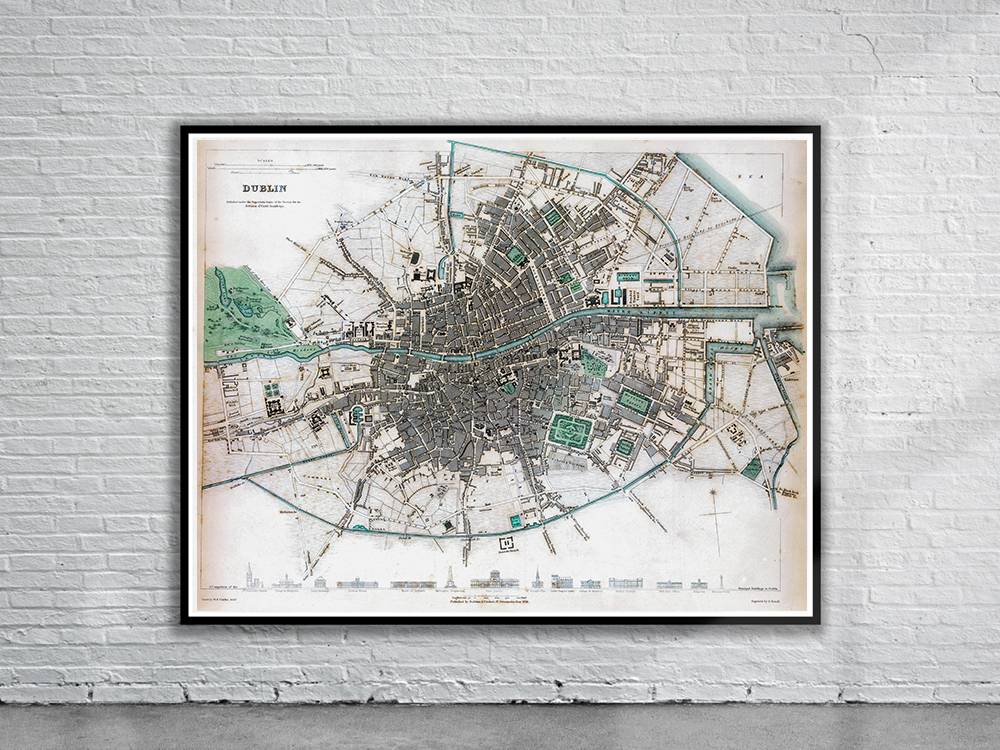
Vintage Map of Dublin 1836
$ 60.08